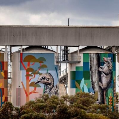
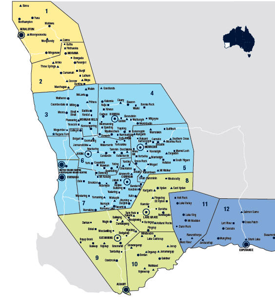
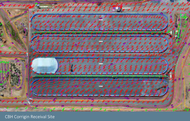
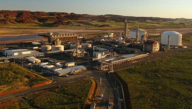
Our task was comprehensive, conducting topographical surveys integrated with aerial mapping for 30 locations managed by the CBH Group in Western Australia. The services we offered included:
Site-wide high-resolution UAV imagery for all sites
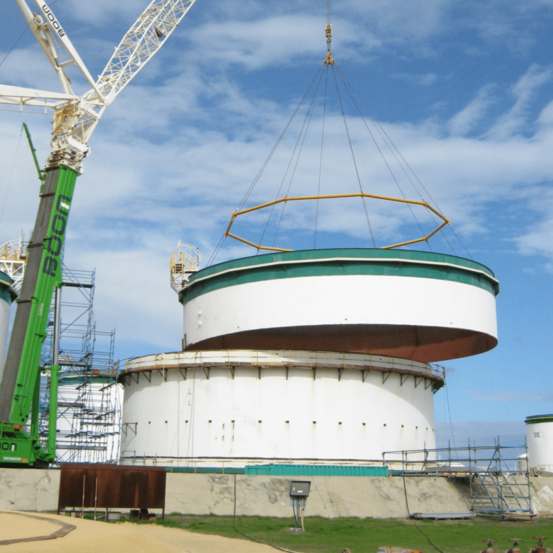
Terrestrial contour and feature survey, capturing all topography and structures at the locations
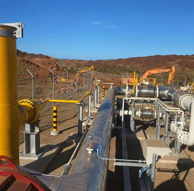
Location of underground services utilising EMI and GPR devices
Delivery of an all-encompassing 3D CAD plans for each location, revealing underground, terrestrial, and aerial perspectives.
The project posed substantial demands: to execute topographical survey spanning an impressive area of 3.8 million m2 within a restricted time frame. It necessitated the incorporation of over 80 features & services in our survey, thereby demanding an orchestration of Aerial, Subsurface & Terrestrial scan data in the final report.
Our Solution
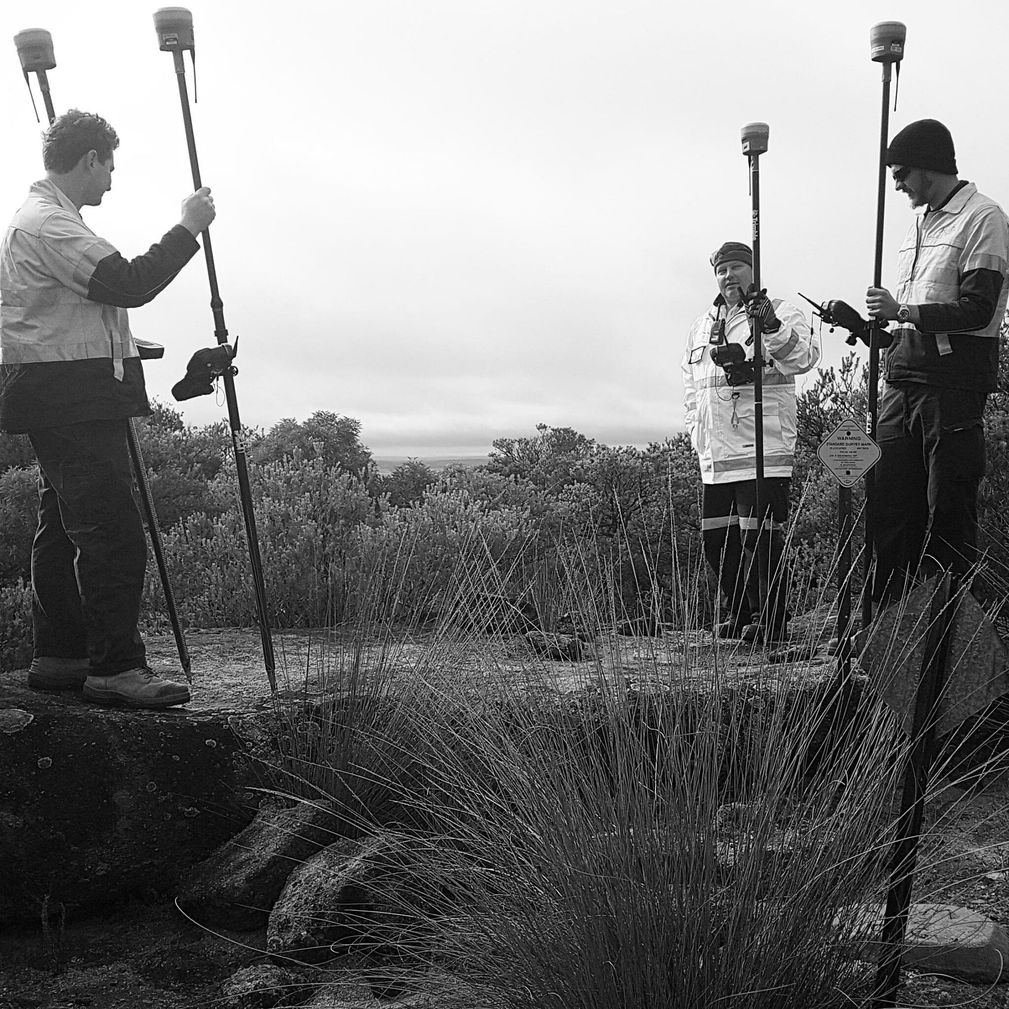
Facing considerable logistical and safety challenges due to the project’s wide reach, we engineered our response meticulously. Our strategy hinged on effective planning and systematic execution. In harsh and challenging conditions, our team -a band of fifteen surveyors – worked in seamless rotation, giving priority to safety in the successful completion of the work remotely.
All work is a high standard and very happy with the quality and speed of each survey
Jay Bullinham
(Civil Designer)
The Results
Despite multiple obstacles, we succeeded in creating fully integrated 3D CAD plans, providing unhindered views of underground, terrestrial, and aerial imagery for each site. The project was delivered ahead of schedule and, with a keen focus on safety, without a single incident. This experience further cements our reputation as a resilient and dependable partner in rendering top-tier survey solutions.