Enjoy the advantages of high-resolution terrain mapping, swift data acquisition, and detailed 3D models. Ideal for complex landscapes, our LiDAR services pave the way for enhanced planning and informed decision-making.
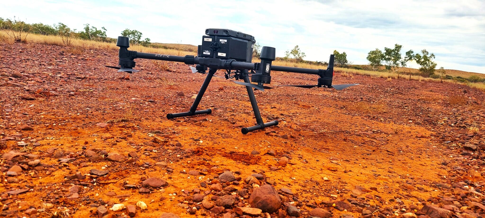
We capture spatial information with remarkable precision and detail. We optimise every stage of the surveying process, streamlining activities for greater efficiency and safety. Our clients reap these benefits that make a real difference to their operations.
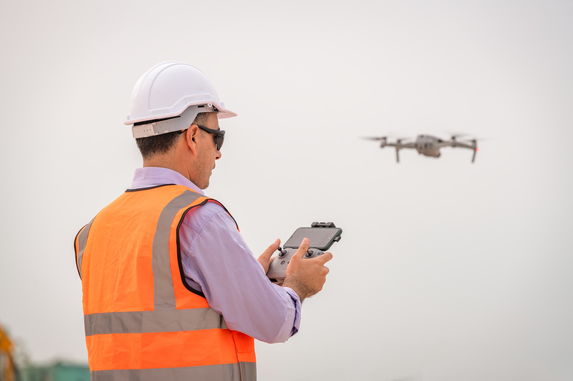
Our CASA accredited pilots deliver tailored, safe, and precise photogrammetry solutions, providing high-resolution imagery to meet your specific needs. We ensure optimal accuracy through meticulous mission planning and post-processing techniques. Talk to us for a better solution.
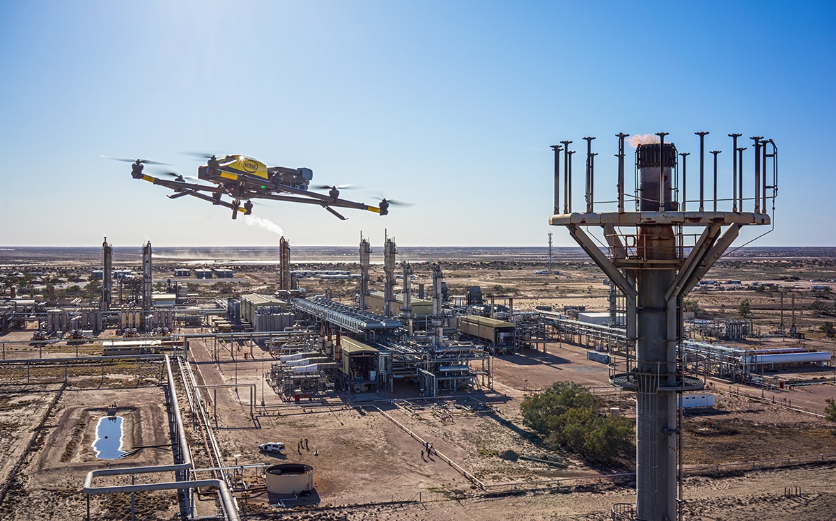
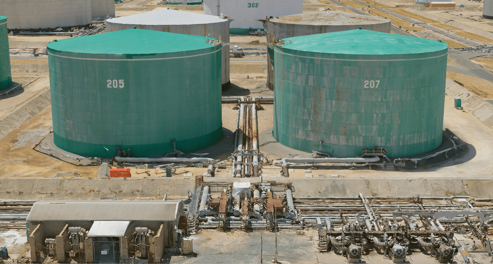
Experience seamless monitoring with our UAV-based remote inspections. Ideal for remote sites and large infrastructure, our service offers comprehensive coverage, real-time data, and high-resolution imagery.