Handley Surveys offers an unprecedented level of design precision tailored specifically for the world of construction. Our platform facilitates end-to-end project visualisation, bringing life to your construction plans, and enabling preemptive detection and rectification of potential issues. Utilising the industry’s cutting-edge features, our Construction CAD Modelling enhances efficiency and elevates project delivery to an art form.
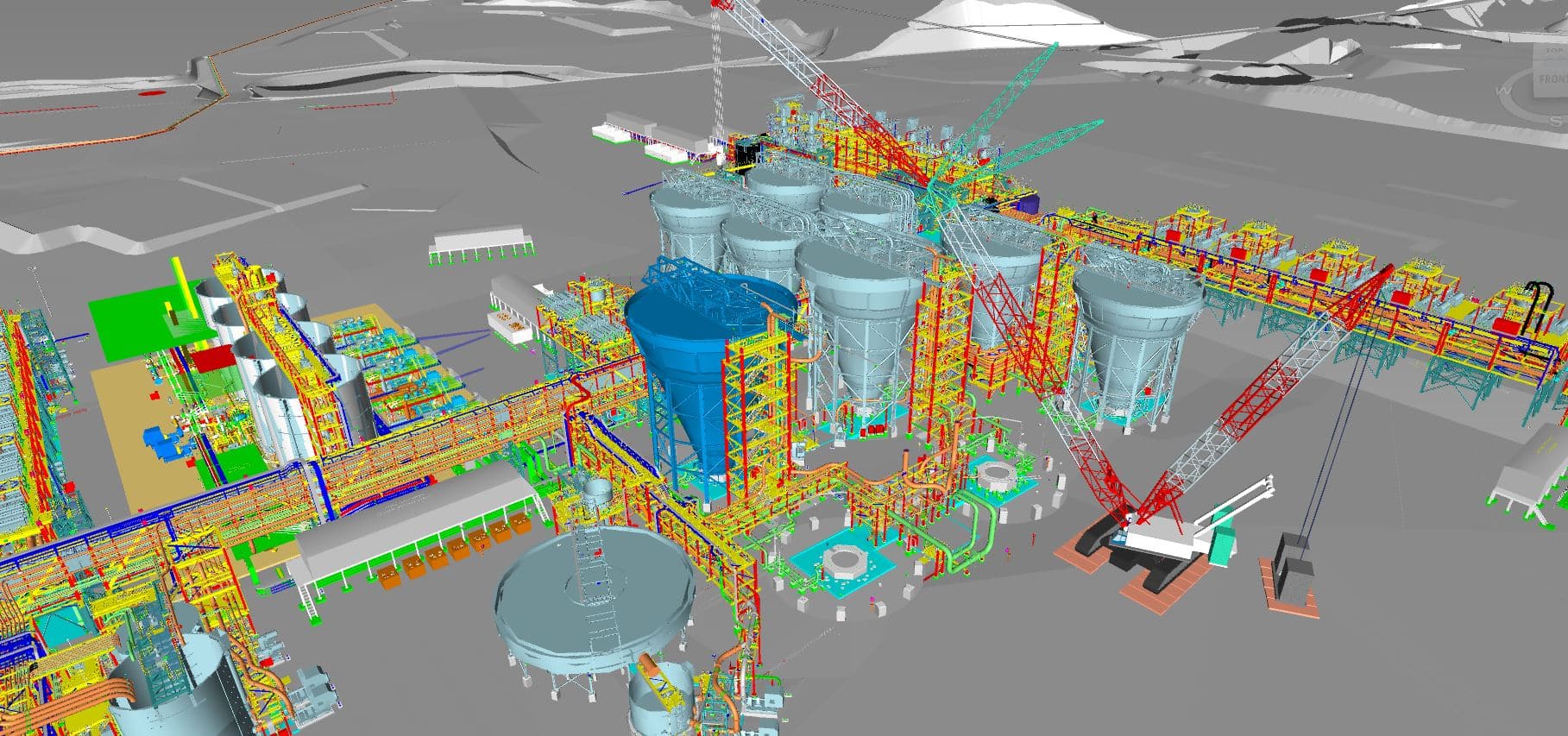
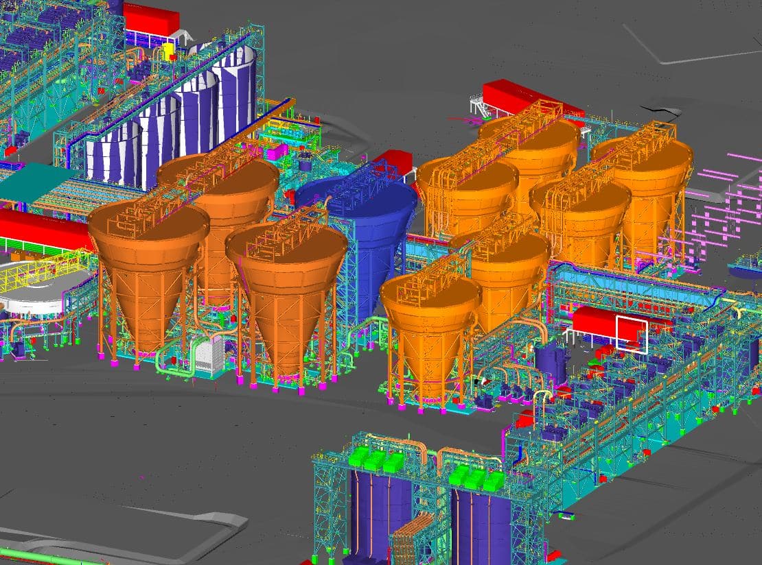
Empowering industrial success, our process breathes digital life into complex plant models. Our refined system allows precise visualisation of intricate units, promoting streamlined planning and confident implementation. Exemplifying our commitment to quality, this service revolutionises the conception and execution of industrial projects, ultimately bridging the gap between design vision and tangible success.
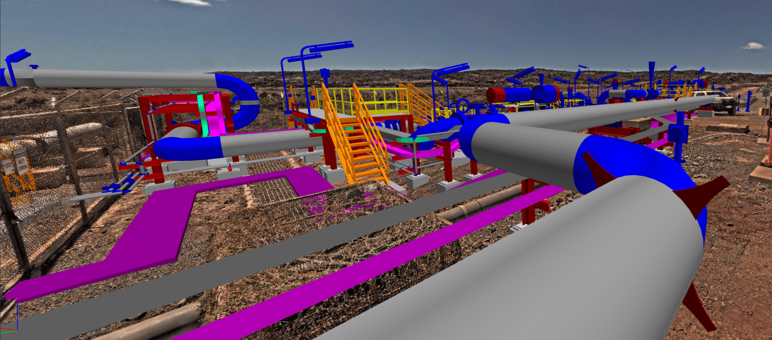
With our Oil & Gas CAD Modelling, we harness our deep industry knowledge to deliver an unrivaled CAD solution tailored for oil and gas projects. Recognising the sector’s unique needs, our platform facilitates the design and assessment of installations and pipelines. Meticulous in every nuance, our service underscores our dedication to promoting precision, safety, and innovation in the oil and gas industry.
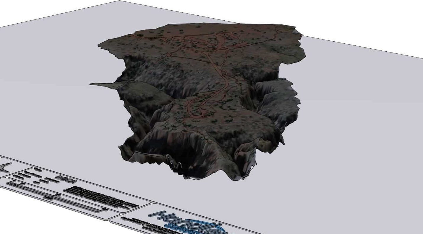
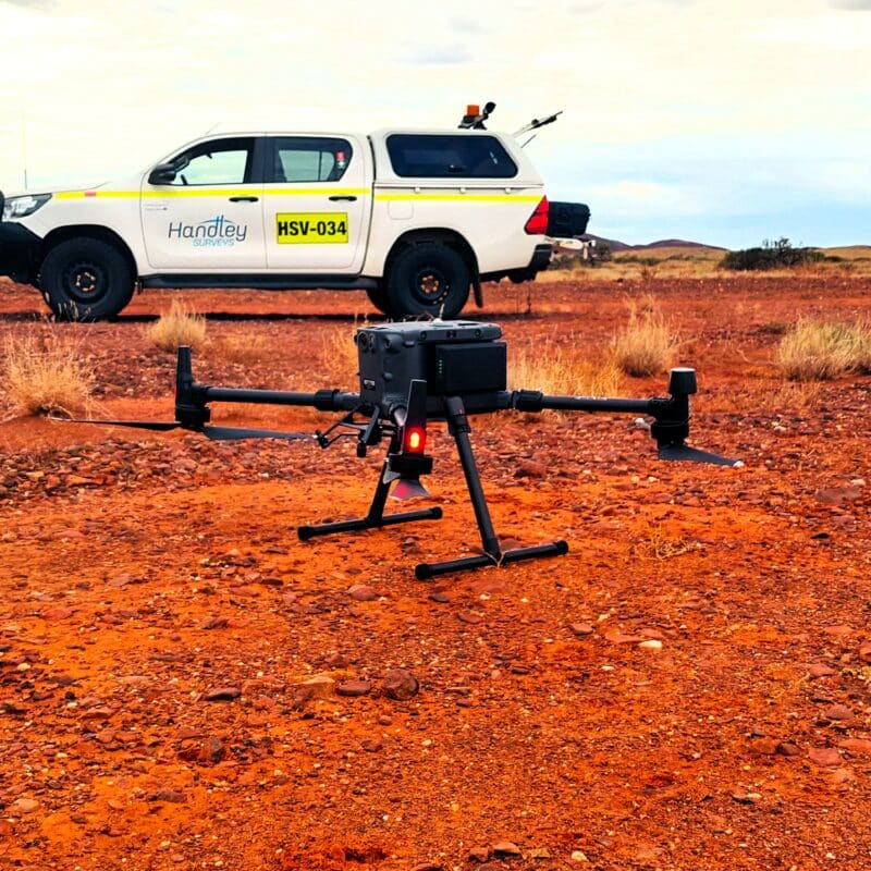
Handley Surveys transforms complexity into clarity with our exceptional CAD Modelling service. Drawing on over 40 years of experience, our adept surveyors turn intricate landscapes, natural structures, and terrain formations into high precision digital models, providing not just data but actionable insights. We are the definitive choice for professionals seeking innovative geospatial solutions that seamlessly blend accuracy, reliability, and efficiency.

Geospatial data management is the backbone of a fully integrated survey solution, ensuring seamless organisation and accessibility of spatial information. By effectively managing geospatial data, you can optimise decision-making, streamline project workflows, and reduce errors. This crucial component enables efficient analysis, visualisation, and interpretation of spatial data, ultimately driving project success and delivering valuable insights for informed decision-making.